Methodology
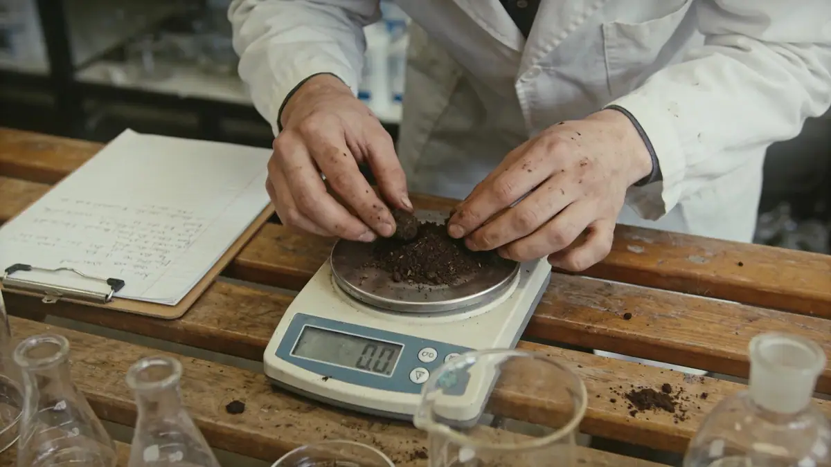
Our methodology for Barnsley projects begins with a comprehensive desk study reviewing historical mining records and geological maps. We then deploy targeted field investigations, including spt boring to assess soil strength at depth, and trial pits for shallow foundations. Sampling follows ASTM D1586 procedures for standard penetration tests, with typical sampling intervals of 1.0–1.5 m. Laboratory testing on recovered samples determines index properties, shear strength, and consolidation characteristics. This data informs our geotechnical models, which are calibrated against local experience. We prioritise phased investigations, allowing adjustments based on findings, ensuring cost-effective yet robust characterisation of the site.
Reference Technical Parameters
| Parameter | Reference Value |
|---|---|
| Predominant soil type | Glacial till over Coal Measures mudstone/sandstone |
| Typical groundwater level | 3–6 m below ground surface |
| Maximum seismic acceleration (PGA) | 0.10 g (based on UK seismic hazard map) |
| Bedrock depth | 10–30 m (variable due to drift thickness) |
| Typical N60 range (SPT) | 15–40 blows/300 mm in till |
Local Considerations — Barnsley
Barnsley lies within the South Yorkshire Coalfield, underlain by Carboniferous Coal Measures. Glacial till, often stiff and with variable cobble content, mantles much of the area. Historical coal mining has left legacy workings that can cause subsidence; our team routinely reviews Coal Authority records. Seismic hazard is low (PGA 0.10 g per UK National Annex to Eurocode 8), but differential settlement due to variable drift thickness is a key concern. In central Barnsley, made ground from industrial activity may require deeper foundations. For guidance on regional practice, see our geotechnical engineering services from Leeds.
Request a Quote
Our team reviews your project and issues an initial report at no cost.
Or write us directly at [email protected]
Services in Barnsley
Applicable Standards
- Eurocode 7 (BS EN 1997)
- Eurocode 8 (BS EN 1998) – UK National Annex
- ASTM D1586 – Standard Penetration Test
- BS 5930 – Code of Practice for Ground Investigations
- Coal Authority – Mining Reports & Guidance
Frequently Asked Questions
What are the typical soil conditions in Barnsley?
Glacial till is predominant, overlying Coal Measures bedrock. The till is typically firm to stiff, with occasional cobbles. Groundwater is generally encountered at 3–6 m depth. Made ground from mining and industrial activities is common in urban areas, requiring careful characterisation.
Is seismic design required for structures in Barnsley?
Yes, per Eurocode 8, seismic design is mandatory for most structures, though Barnsley falls in a low seismicity zone (PGA 0.10 g). For ordinary buildings, simplified methods may suffice; critical infrastructure may require site-specific response analysis per UK National Annex.
Are geotechnical investigations mandatory for construction in Barnsley?
While not a legal requirement for all projects, they are strongly recommended and often required by insurers or local authorities, especially in areas with mining legacy. For complex developments, a ground investigation per BS 5930 is standard to ensure safety and compliance.