Methodology

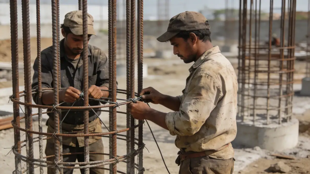
Our approach to geotechnical engineering in Leeds integrates field investigation, laboratory testing, and analytical modelling. We employ standard penetration testing (SPT) in accordance with ASTM D1586 to characterise subsurface conditions, with sampling intervals typically every 1.0 to 1.5 metres. This data, combined with cone penetration tests and trial pits, informs our soil classification and design parameters. For detailed insights into our field methods, see our spt boring page. All work follows Eurocode 7 and UK national annexes.
Reference Technical Parameters
| Parameter | Reference Value |
|---|---|
| Predominant soil type | Glacial till (boulder clay) with sand and gravel lenses |
| Maximum seismic acceleration (PGA) | 0.10 g (low seismicity, per UK National Annex to Eurocode 8) |
| Typical groundwater level | 3–8 m below ground surface, variable |
| Bedrock depth | 10–30 m (Carboniferous Millstone Grit and Coal Measures) |
| Typical N60 range | 15–40 blows/300mm (glacial till) |
Local Considerations — Leeds
Leeds' geology is dominated by glacial till, underlain by Carboniferous bedrock. The till is dense and heterogeneous, with sand and gravel layers that can affect bearing capacity. Groundwater is generally deep but may be encountered in valleys. Seismicity is low (PGA ~0.10g), but dynamic analysis is required for critical structures. The city's varied topography—from low-lying river terraces to higher ground—creates contrasting soil conditions. Typical projects include high-rise foundations requiring deep piles and excavations for basement parking. For slope stability assessments in the surrounding hills, refer to our slope stability service.
Request a Quote
Our team reviews your project and issues an initial report at no cost.
Or write us directly at [email protected]
Services in Leeds
Locations covered in Leeds
Applicable Standards
- Eurocode 7 (BS EN 1997)
- Eurocode 8 (BS EN 1998)
- ASTM D1586 (Standard Test Method for SPT)
- BS 5930 (Code of Practice for Ground Investigations)
- UK National Annexes to Eurocodes
Frequently Asked Questions
What are the typical soil conditions in Leeds for foundation design?
Leeds predominantly features glacial till (boulder clay) with variable sand and gravel lenses. The till is dense and stiff, providing moderate bearing capacity. Bedrock depths range from 10 to 30 metres. Groundwater is usually deep, but local variations exist near river valleys.
Is seismic design required for buildings in Leeds?
Leeds is in a low seismicity zone per the UK National Annex to Eurocode 8. A peak ground acceleration of 0.10g is typical. Seismic design is generally not required for standard structures, but it may be necessary for critical infrastructure or tall buildings.
Are geotechnical investigations mandatory for construction projects in Leeds?
While not always legally mandatory, geotechnical investigations are strongly recommended and often required by local planning authorities and building regulations. They are essential for safe foundation design, especially for larger or complex developments.