Methodology
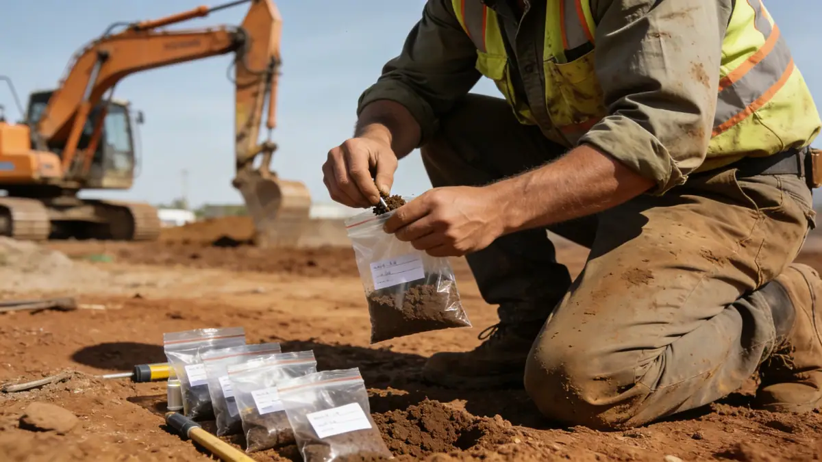
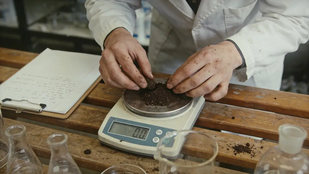
Our methodology in York follows a phased approach tailored to the site's geological context. We begin with a desk study reviewing historical maps, borehole records, and geological maps from the British Geological Survey. Field investigations typically employ spt boring at regular intervals to characterise soil strength and stratigraphy, with sampling for laboratory classification. Groundwater monitoring is conducted using standpipes or piezometers to assess seasonal fluctuations. Laboratory testing, including particle size distribution and Atterberg limits, follows British Standard 1377. This integrated approach ensures robust data for foundation design, slope stability analysis, and earthworks specification, conforming to Eurocode 7 and UK national annexes.
Reference Technical Parameters
| Parameter | Reference Value |
|---|---|
| Predominant soil type | Glacial till (boulder clay) and alluvial silts/clays |
| Maximum seismic acceleration (PGA) | 0.05g to 0.10g (low seismicity per UK National Annex to Eurocode 8) |
| Typical groundwater level | 1.5–3.0 m below ground surface (varies seasonally) |
| Bedrock depth | Typically >10 m (Triassic sandstone or mudstone) |
| Typical N60 range (SPT) | 10–30 for glacial till; 5–15 for alluvial deposits |
Local Considerations — York
York's geology is dominated by glacial till and alluvial deposits from the River Ouse and Foss. The historic city centre often features made ground from Roman and medieval occupation, requiring careful investigation. High groundwater levels in the floodplain pose challenges for basement construction and require dewatering assessments. In contrast, elevated areas like Clifton and Heworth have deeper water tables and stiffer tills. Typical projects include residential developments on greenfield sites and commercial refurbishments in the city centre. Our team also supports infrastructure projects such as the York Central redevelopment, applying expertise from our geotechnical engineering en Leeds hub to ensure consistent quality across the region.
Request a Quote
Our team reviews your project and issues an initial report at no cost.
Or write us directly at [email protected]
Services in York
Applicable Standards
- Eurocode 7 (BS EN 1997) – Geotechnical design
- British Standard 5930 – Code of practice for ground investigations
- British Standard 1377 – Methods of test for soils for civil engineering purposes
- ASTM D1586 – Standard test method for SPT
- UK National Annex to Eurocode 8 – Seismic design
Frequently Asked Questions
What are the typical soil conditions encountered in York?
York's subsoil primarily consists of glacial till (boulder clay) with variable sand and gravel lenses, overlain by alluvial silts and clays near rivers. Made ground is common in the historic core. These conditions necessitate careful investigation to assess bearing capacity and settlement.
Is seismic design required for structures in York?
According to the UK National Annex to Eurocode 8, York lies in a low seismicity zone with peak ground accelerations below 0.10g. For most ordinary structures, seismic design is not mandatory, but critical infrastructure or special structures may require consideration.
When is a geotechnical investigation mandatory in York?
Local planning authorities in York typically require a ground investigation for new builds, especially in flood risk areas or where made ground is suspected. The scope depends on development scale, from trial pits for extensions to full borehole investigations for multi-storey buildings.