
Methodology
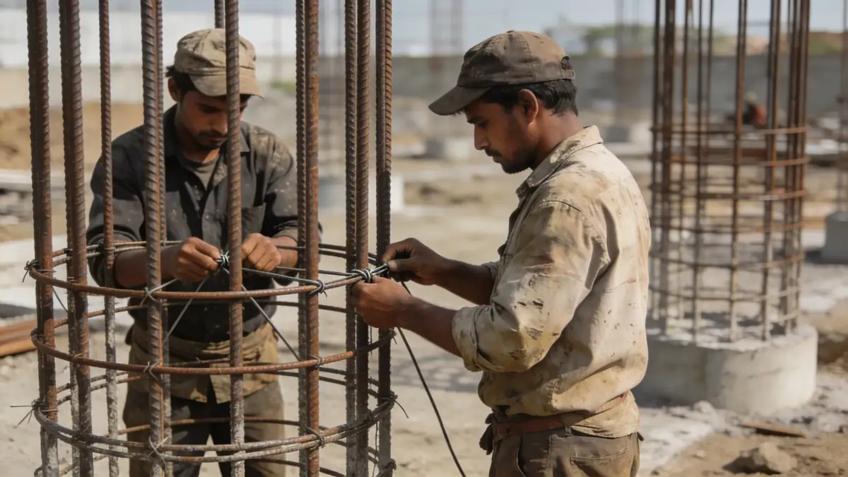
Our methodology for geotechnical engineering in Blackburn integrates advanced field techniques with rigorous laboratory testing. We typically commence with a desk study reviewing British Geological Survey maps and historical records, followed by intrusive investigations such as spt boring to obtain N-values and disturbed samples. In cohesive soils, we employ thin-walled tube sampling for undisturbed specimens. Laboratory programmes include classification (moisture content, Atterberg limits, particle size distribution per BS 1377), strength testing (triaxial, direct shear), and consolidation tests. All work adheres to Eurocode 7 and relevant British Standards, ensuring design parameters are robust and defensible.
Reference Technical Parameters
| Parameter | Reference Value |
|---|---|
| Predominant soil type | Glacial till (boulder clay) overlying sandstone/mudstone bedrock |
| Maximum seismic acceleration (PGA) | 0.05g – 0.10g (low seismicity per UK National Annex to Eurocode 8) |
| Typical groundwater level | 2–5 m below ground surface in valley areas; >5 m on higher ground |
| Bedrock depth | 10–30 m in central Blackburn; shallower on hillslopes |
| Typical N60 range (glacial till) | 15–40 blows/300 mm; variable due to cobbles |
Local Considerations — Blackburn
Blackburn's geology is dominated by Devensian glacial till, which can contain cobbles and boulders, complicating standard penetration testing. Alluvial deposits along the River Blakewater and its tributaries present softer, compressible layers prone to settlement. Groundwater levels fluctuate seasonally, particularly in low-lying areas near the town centre. The borough's topography, ranging from 80 m to over 200 m OD, influences slope stability on the surrounding hillsides. Our team leverages local case histories and data from previous projects in Blackburn to refine investigation scopes. For regional context, we coordinate with our geotechnical engineering in Manchester hub, sharing best practices across the North West.
Request a Quote
Our team reviews your project and issues an initial report at no cost.
Or write us directly at [email protected]
Services in Blackburn
Applicable Standards
- Eurocode 7 (BS EN 1997-1:2004 + A1:2013)
- BS 5930:2015 – Code of practice for ground investigations
- BS 1377-1:2016 – Methods of test for soils for civil engineering purposes
- UK National Annex to Eurocode 8 (BS EN 1998-5:2004)
Frequently Asked Questions
What are the typical soil conditions encountered in Blackburn?
Blackburn's subsoil is predominantly glacial till, a heterogeneous mixture of clay, sand, gravel, and occasional cobbles. In valley bottoms, alluvial deposits of soft clay and peat may be present. Bedrock, usually Carboniferous Millstone Grit or Coal Measures sandstone, lies at depths ranging from 10 to 30 metres.
Is a geotechnical investigation mandatory for new construction in Blackburn?
While UK Building Regulations do not explicitly mandate a ground investigation for all projects, Part A (Structure) requires that foundations be designed based on adequate ground data. Most local authorities in Blackburn expect a geotechnical report for significant developments, particularly where differential settlement or slope instability is a concern.
Does Blackburn experience seismic activity that affects foundation design?
The UK is a region of low seismicity, and Blackburn's peak ground acceleration is estimated at 0.05g to 0.10g per the UK National Annex to Eurocode 8. For most low-rise structures, seismic design is not critical, but tall buildings or sensitive infrastructure may require consideration of ground motion, especially on soft alluvial soils.