Methodology
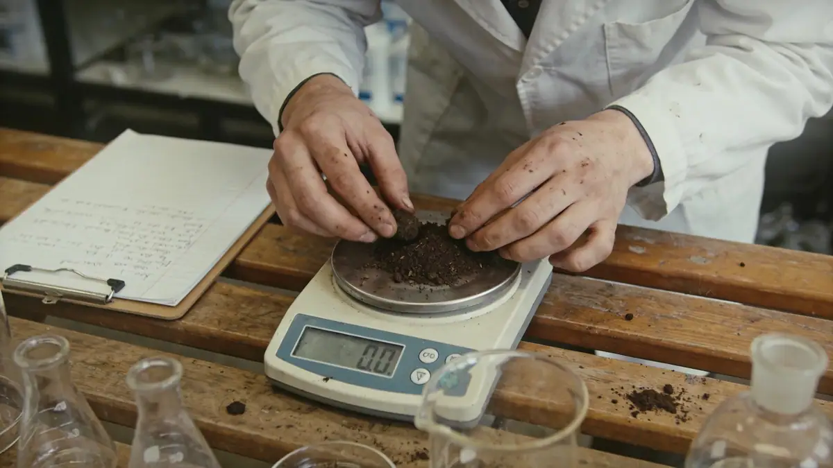
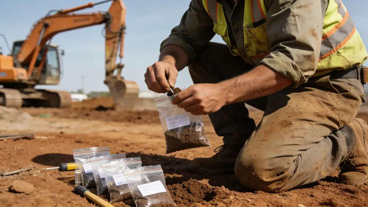
Our approach to geotechnical engineering in Luton begins with a thorough desk study of historical maps, borehole logs, and geological records to identify potential hazards. We then design a site-specific investigation plan, typically combining trial pits, window sampling, and spt boring to characterize the subsurface. In the laboratory, we conduct index tests (moisture content, Atterberg limits) and strength tests (triaxial, shear box) on recovered samples, following ASTM D1586 for SPT corrections. Our methodology ensures that each phase of work is tailored to Luton's ground conditions, providing clients with actionable data for foundation design, slope stability, and earthworks.
Reference Technical Parameters
| Parameter | Reference Value |
|---|---|
| Predominant soil type | Glacial till (boulder clay) overlying chalk |
| Maximum seismic acceleration (PGA) | 0.05g to 0.10g (low seismicity per UK National Annex to Eurocode 8) |
| Typical groundwater level | 1.5 m to 5.0 m below ground surface, seasonal |
| Bedrock depth | 10 m to 30 m (chalk bedrock) |
| Typical N60 range | 10 to 30 blows per 300 mm (glacial till) |
Local Considerations — Luton
Luton's geology is dominated by glacial till (boulder clay) overlying chalk bedrock, with river terrace deposits along the River Lea. The till often contains cobbles and lenses of sand/gravel, making SPT results variable. Groundwater is typically shallow (1.5–5.0 m), requiring dewatering during excavations. Seismicity is low (PGA <0.10g), but differential settlement due to clay shrinkage/swelling is a concern. In central Luton, made ground from historical industrial activity may contain obstructions. Our team has extensive experience in these conditions, offering tailored investigations for both new builds and retrofits. For larger projects, we coordinate with our geotechnical engineering en London office to leverage regional expertise.
Request a Quote
Our team reviews your project and issues an initial report at no cost.
Or write us directly at [email protected]
Services in Luton
Applicable Standards
- Eurocode 7: Geotechnical design (BS EN 1997)
- BS 5930: Code of practice for ground investigations
- ASTM D1586: Standard test method for SPT
- UK National Annex to Eurocode 8: Seismic design
Frequently Asked Questions
What are the typical soil conditions in Luton?
Luton's ground is primarily glacial till (boulder clay) overlying chalk bedrock, with some river terrace deposits. The till is variable, often containing cobbles and sand lenses. Groundwater is shallow, typically 1.5–5.0 m deep, and can affect excavations.
Is seismic design required for geotechnical engineering in Luton?
The UK National Annex to Eurocode 8 classifies Luton as a low seismicity area, with a peak ground acceleration (PGA) of 0.05g–0.10g. While seismic design is not mandatory for most projects, it may be considered for critical infrastructure or tall buildings.
Are geotechnical investigations mandatory for construction in Luton?
Yes, for most new buildings and significant alterations, the Building Regulations (Part A) require a ground investigation to ensure safe foundation design. Local planning authorities often request a geotechnical report as part of the planning application.