Methodology
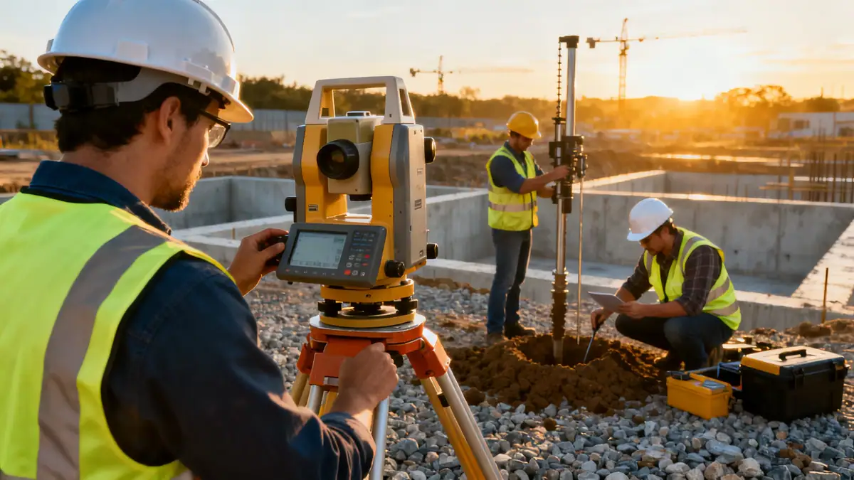
Our methodology for geotechnical engineering in Warrington begins with a thorough desk study of existing borehole records and geological maps. Field investigations include spt boring to determine soil strength and stratification, supplemented by trial pits and geophysical surveys. Laboratory testing follows BS 1377 standards for classification, compaction, and shear strength parameters. We apply limit state design principles per Eurocode 7 to derive bearing capacities, settlement estimates, and lateral earth pressures. Each investigation is tailored to the site's specific geology, with continuous monitoring and adaptive planning to address variable ground conditions encountered across Warrington.
Reference Technical Parameters
| Parameter | Reference Value |
|---|---|
| Predominant soil type | Glacial till and alluvial deposits |
| Maximum seismic acceleration (PGA) | 0.05g (low seismicity per BS EN 1998-1) |
| Typical groundwater level | 1.5–3.0 m below ground surface |
| Bedrock depth | 10–30 m (variable) |
| Typical N60 range (SPT) | 10–30 blows/300 mm in till |
Local Considerations — Warrington
Warrington's geology is shaped by Quaternary glaciation, with superficial deposits of till, sand, and gravel overlying Triassic sandstones and mudstones. Local areas like Birchwood and Culcheth exhibit deeper alluvial sequences, while the town centre often encounters made ground associated with historical industrial activity. Groundwater is typically encountered at shallow depths (1–3 m), requiring dewatering considerations for excavations. Seismic hazard is low (PGA 0.05g), but liquefaction potential exists in loose saturated sands. Our team integrates these factors into every project, leveraging insights from our soil mechanics laboratory to characterise local soils accurately. For broader regional context, refer to our geotechnical engineering in Manchester page.
Request a Quote
Our team reviews your project and issues an initial report at no cost.
Or write us directly at [email protected]
Services in Warrington
Applicable Standards
- Eurocode 7 (BS EN 1997)
- BS 5930:2015 Code of practice for ground investigations
- BS 1377 Methods of test for soils
- ASTM D1586 Standard test method for SPT
- National Building Regulations (UK)
Frequently Asked Questions
What are the typical soil conditions in Warrington?
Warrington's soils are predominantly glacial till, with variable layers of sand, gravel, and peat. Alluvial deposits are common near the River Mersey, often with shallow groundwater. These conditions necessitate careful site-specific investigations for foundation design.
Is a geotechnical investigation required for new construction in Warrington?
Yes, UK building regulations mandate ground investigations to ensure structural safety. Local planning authorities typically require a geotechnical report to address bearing capacity, settlement, and groundwater effects, especially in areas with made ground or variable soils.
How does seismic risk affect geotechnical design in Warrington?
Warrington lies in a low seismicity zone (PGA ~0.05g). However, Eurocode 8 requires consideration of site amplification and liquefaction potential for loose saturated sands. Our designs incorporate these factors to ensure compliance and resilience.