Methodology
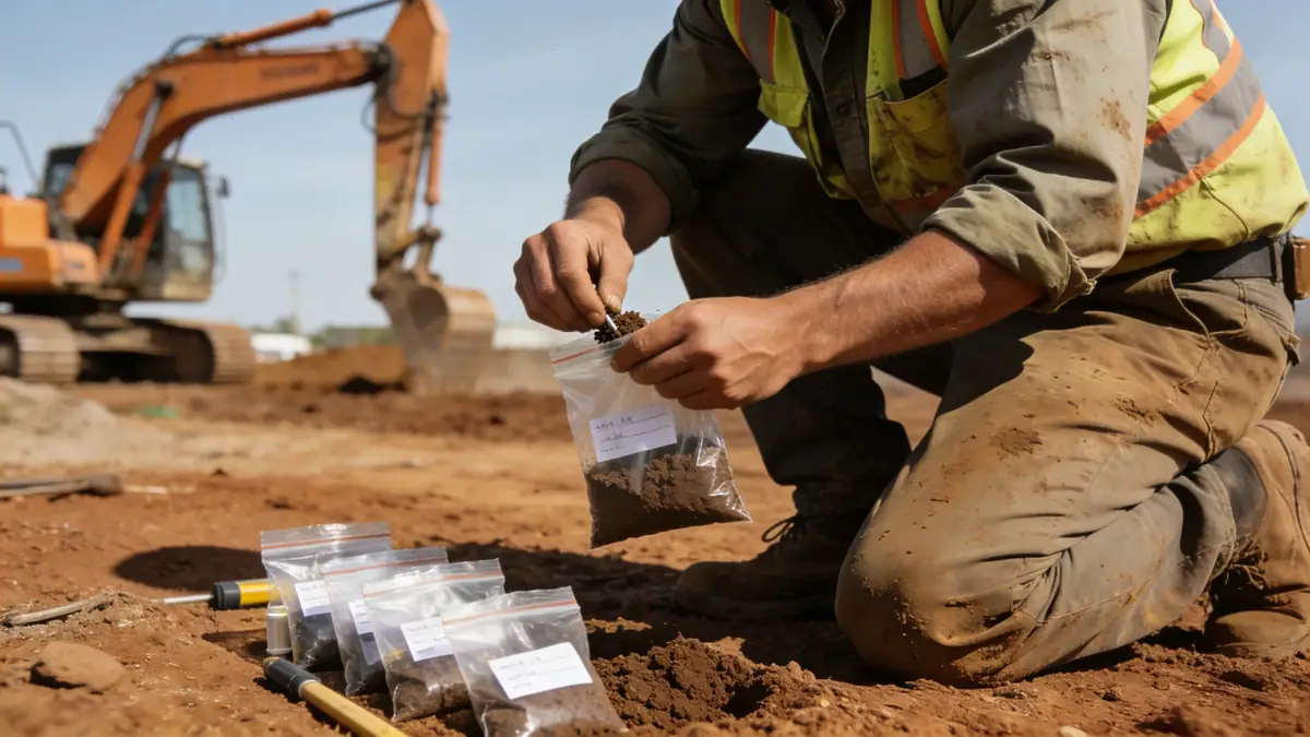
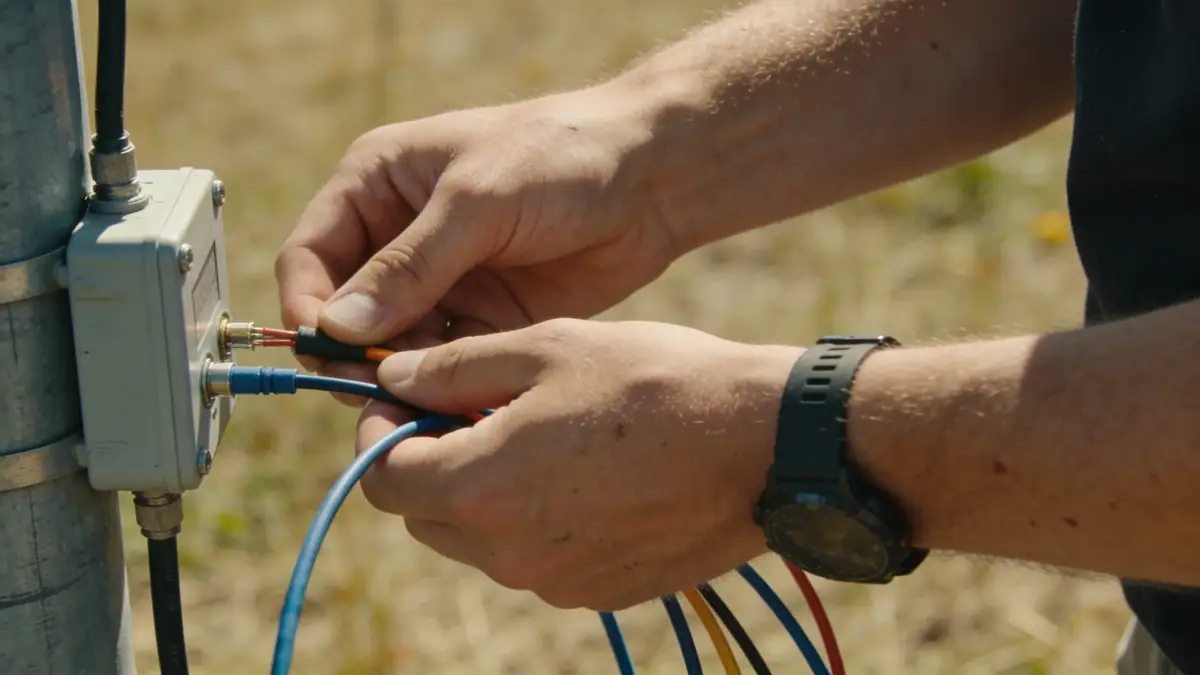
Our approach to geotechnical engineering in Wigan begins with a comprehensive desk study, reviewing historical mining records, geological maps, and previous site investigations. This is followed by intrusive fieldwork, typically including spt boring to obtain soil samples and measure standard penetration resistance (N60), in accordance with BS EN ISO 22476-3. We also employ trial pits and window sampling to assess shallow conditions, particularly in areas with potential for shallow mine workings. Laboratory testing, including classification, strength, and consolidation tests, is conducted in our soil mechanics laboratory. The data is interpreted using limit state design principles from Eurocode 7 to produce foundation recommendations, settlement estimates, and slope stability analyses tailored to Wigan's ground conditions.
Reference Technical Parameters
| Parameter | Reference Value |
|---|---|
| Predominant soil type | Glacial till (boulder clay) over Coal Measures sandstone and mudstone |
| Maximum seismic acceleration (PGA) | 0.05g to 0.10g (low seismicity, BS EN 1998-1) |
| Typical groundwater level | 2.0 to 5.0 m below ground surface |
| Bedrock depth | 10 to 30 m, shallower in east Wigan |
| Typical N60 range (glacial till) | 15 to 40 blows/300 mm |
Local Considerations — Wigan
Wigan's geology is dominated by glacial till overlying Carboniferous Coal Measures, with variable thicknesses of alluvium along river valleys. Historical coal mining has left shallow workings, adits, and shafts that require careful geophysical surveys and probing to identify voids. The groundwater regime is influenced by the River Douglas and local drainage, with seasonal fluctuations that can affect excavation stability. In the town centre, made ground from industrial activity may contain obstructions or contaminants. Our firm coordinates with the Coal Authority and local planning departments to ensure all mining risks are addressed. For complex regional context, our team works alongside geotechnical engineering en Manchester to deliver consistent standards across the Northwest.
Request a Quote
Our team reviews your project and issues an initial report at no cost.
Or write us directly at [email protected]
Services in Wigan
Applicable Standards
- BS EN 1997-1:2004 (Eurocode 7 – Geotechnical design)
- BS 5930:2015 (Code of practice for ground investigations)
- BS EN ISO 22476-3:2005 (SPT test)
- The Coal Mining Subsidence Act 1991
- BS 10175:2011 (Investigation of potentially contaminated sites)
Frequently Asked Questions
What are the typical soil conditions encountered in Wigan?
Wigan's soils predominantly comprise glacial till (boulder clay) overlying Coal Measures bedrock, with alluvial deposits along river valleys. Made ground from historical mining and industry is common in the town centre. Groundwater levels typically range from 2 to 5 metres depth, and shallow mine workings pose a risk in many areas.
Is seismic design required for structures in Wigan?
According to BS EN 1998-1 (Eurocode 8), the United Kingdom is classified as a low seismicity region. The peak ground acceleration for Wigan is approximately 0.05g to 0.10g, which generally does not require explicit seismic design for standard structures, but checks may be necessary for critical infrastructure or unusual soil conditions.
Are geotechnical investigations mandatory for new developments in Wigan?
While not a statutory requirement for all projects, local planning authorities in Wigan typically require a geotechnical assessment for developments near known mining areas, on unstable slopes, or for major infrastructure. The Coal Authority also mandates a coal mining risk assessment for sites within Development High Risk Areas.